Posts Tagged ‘Prince William County’

NeabscoBoardwalk (1)

For this long holiday weekend I decided to get away for a little while.  And there is such a diversity of things to see and do in the local area that it doesn’t take a lot of effort to experience something new and different.  So this morning I went for a bike ride at the newly-built Neabsco Creek Boardwalk, located about 30 miles south of D.C. on the Potomac Heritage National Scenic Trail at 15125 Blackburn Road in Woodbridge (MAP), Virginia. 

The three-quarters of a mile long, 10-feet wide boardwalk, which includes a two-story observation deck, opened just last month.  It traverses Neabsco Creek, and allows bikers and hikers access to wetlands where the tall grasses and marsh filter pollution from the river and provide a rich habitat for great blue herons, wood ducks, mallards, sparrow and red-winged blackbirds, just to name a few of the winged wildlife known to populate the area.

The 3.8 million dollar boardwalk is designed to showcase Woodbridge’s most valuable natural asset — the Potomac Waterfront.  The boardwalk is compliant with the Americans With Disabilities Act, and encompasses educational sites that highlight information on native wildlife and plants.  Guided tours are also occasionally offered.

The Prince William Board of County Supervisors recently voted to combine the Neabsco Creek Boardwalk with the Julie J. Metz Wetlands Park, the Rippon Lodge Historic Property, Kings Highway, the Potomac Heritage National Scenic Trail and Rippon Landing Neighborhood Park, and designated the combined recreation and historic sites as the Neabsco Regional Park.


[Click on the photos to view the full-size versions]

NeabscoBoardwalkAir01

Aerial view of the boardwalk, courtesy of Prince William County.

1 – Second Place at the Prince William County Fair

This has not been a good summer for my routine lunchtime bike rides.  A combination of frequent rainy days intermixed with days of oppressive heat, compounded by being very busy at work, and topped off with an injury, prevented me from riding every day.  Hopefully, as we get past this Labor Day weekend and closer to autumn’s arrival, I will be able to go back to consistently riding every day.

However, it was a good summer nonetheless.  And one of the good things that happened this summer involved photographs I have taken in the past during my lunchtime bike rides.  I entered a few photographs in some local photo contests.  And half of them won.  I won a second and a third place in one contest, and came in first in the other contest.

One of the contests was part of the nearby Prince William County Fair, which I entered because it is the largest county fair in the state of Virginia.  I entered the maximum number allowed, five photos in five different categories (see thumbnails below).  I won second place red ribbon and two dollars prize money in the category of “Flowers”, and a third place white ribbon and one dollar in the category of “Manipulated Black and White Photograph.”  Personally, I honestly thought my photos were the best of all the ones entered in these two categories.  But there’s one positive aspect of not winning – there’s room for improvement.  So perhaps next year I will be able to win a first place blue ribbon like my youngest daughter won for her photography last year, and my oldest daughter did this year for crafts.

The other contest was sponsored by the Georgetown University Grilling Society (GUGS).  For the GUGS (the first “G” is soft, as in “genius”) Summer Photo Contest I entered one photograph.  And I won first place.  But better than a blue ribbon, I won the grand prize of a free GUGS burger (worth five dollars), and a pass to the front of the line so that I did not have to wait (which no amount of money can buy).  I claimed my prize during today’s first GUGS grill of the fall season, and enjoyed the burger for lunch today.

So from now on, you will no longer see snapshots accompanying by blog posts.  From now on, you will see photographs from an award-winning photographer.

Prince William County Fair Photo Contest

    3     4

5     6     7

2 – Second Place at the Prince William County Fair
3 – Entered in the “Cityscapes” category, and captioned “Urban Reflection”.
4 – Entered in the “People and Animals” category, and captioned “Country Girl Visits the City”.
5 – Entered in the “Photos From Last Year’s Fair” category, and captioned “Girl in Butterfly Tent Looking for a Butterfly”.
6 – Entered in the “Flowers” category, and captioned “Half and Half”
7 – Entered in the “Manipulated Black and White Photo” category, and captioned “Unfaded Glory”.
GUGS Summer Photo Contest

    9

8 – Entered in the GUGS Summer Photo Contest, and captioned, “As I left the last grill this past Spring, there was a sadness in my heart knowing that it would be months until the next grill. And through my tears, as I happened to glance upward through the trees, God shone a light down through the smoke from the grill as if to say, “It’s going to be okay.” This photo captures that moment. A moment that represents what I love about GUGS Friday grills – everything.”
9  – My prize for coming in first place in the GUGS Summer Photo Contest – this burger and a pass to skip to the front of the line.

[Click on the photos to view the full-size versions]

Early Season Wildflower Blooms

They are predicting a 70 to 90 percent chance of rain every day for the coming week.  And although it was slightly overcast yesterday, the weather was cool and dry.  So I decided to go for a late afternoon weekend bike ride to the Occoquan Bay National Wildlife Refuge, which is located approximately 25 miles due south of D.C., at 13950 Dawson Beach Road (MAP), where the Occoquan River meets the Potomac River in Prince William County, Virginia .

Having been there before, it occurred to me as I was initially riding through the refuge that there was very little color compared to the last time I was there.  This is evidenced by the above photo.  The green has returned with the Spring.  But most of the other colors have yet to follow because many of the larger blooming plants do not peak until later in the summer.  But as I continued riding I looked more closely and was intermittently able to find a variety of color in small flowers and leaves along the way.

The small size of the blooms gave me the chance to practice some selective focus photography. Unfortunately, despite my best efforts as shown in the photos below, there is no type of photography can capture their true beauty.  For that I recommend you get out there and see it for yourself.

The whole experience reminded me of how there is always beauty all around you.  It’s just that sometimes it’s not obvious.  Sometimes you have to look for it to find it.


[Click on the thumbnails above to view the full size photos]

newschoolbaptist01

New School Baptist Church

I almost always go for an extended bike ride on long holiday weekends.  And although this weekend was not a long one, when it’s February and the temperature is in the upper 70’s here in the D.C. area it’s impossible to stay inside.  So I took one of my recumbent bikes and went for a long, leisurely ride this weekend.  And during the ride I happened upon the historic site of the New School Baptist Church, which is located along The Potomac Heritage National Scenic Trail at 15557 Cardinal Drive (MAP) in Dale City, Prince William County, Virginia.

According to the historic marker it was the site where slaves from plantations in the area “gathered between 1861 and 1865.  They built a brush arbor church, worshipped God and became a faithful congregation.  On December 5, 1881, Reverend John L. Bell and four other church leaders purchased one acre of this land for eleven dollars and called themselves the New School Baptist church.  George W. Thomas helped erect a wooden, steepled church which was renamed Neabsco Baptist Church.  The building was used also to educate children of former slaves and free persons of color.  This church has undergone two renovations.  Hand-hewn timbers below the flooring of the present church are silent reminders of the toll of many persons who held a dream during troubled times.”

While I was there I also ventured behind the church where the church’s historic cemetery is located.  There are headstones there that are so old that the names and dates are worn away.  The cemetery also proudly has the grave of a World War I veteran, Owen Thomas, whose family members still attend the church.

Neabsco Baptist Church has undergone many changes throughout its history and is about to undergo another major change.  On six acres of recently-purchased land adjacent to the existing church building they are curretly building a new and much larger sanctuary to accommodate its growing and dynamic congregation.  Even with its long history it’s pastor, Pastor Joshua Speights, Jr., feels some of the best days for the church are still ahead.  So it appears that the 156 year-old church will continue to make history well into the future.

newschoolbaptist02     newschoolbaptist04     newschoolbaptist03
[Click on the photos to view the full-size versions]

occoquan01

The Historic Town of Occoquan

With traffic and transit changes anticipated in D.C. because of the long Columbus Day holiday weekend, for this bike ride I chose to go outside of the city.  For this excursion I chose the historic town of Occoquan, located approximately 23 miles south of D.C. in Prince William County, Virginia (MAP).  It is situated on the south bank at the fall line of the Occoquan River, and directly across the river from the Occoquan Regional Park and the Lorton Correctional Facility Beehive Brick Kiln.  With access available via road, river and the East Coast Greenway, it is accessible by car, boat, foot traffic, and by bike.

The town derives its name from an Algonquian Doeg Indian word, meaning “at the end of the water”.  And throughout its existence the river has been its lifeblood.  It was its location on the water which attracted and then sustained its original occupants, indigenous people who relied upon the river for fish and sustenance.  Similarly, for the British and subsequently American colonists who came after them, the river provided an ideal site to for transportation and trade.   A tobacco warehouse was built as early as 1736, and an industrial complex began in 1750.  Within the next several decades Occoquan had iron-manufacturing, a timber trade, quarrying, river-ice, shipbuilding, a bake house, saw mills, warehouses, and Merchant’s Mill, the first automated grist mill in the country.  It operated for 175 years until destroyed by fire.  Later, during the Civil War, the Occoquan Post Office passed letters and packages between North and South.  But eventually river silting and the shift in traffic to railroads reduced ship traffic to Occoquan and ended its days as a port.

Reflecting the rich history of Occoquan, a number of structures in town, including a number in the downtown commercial area, are part of the Occoquan Historic District which is listed on the National Register of Historic Places.  One of the more prominent examples of these structures is Rockledge, the former house of the town’s founder, which sits on an overlook above the town.

But the town has not only survived.  It has thrived.  Today, it is a restored artists’ community, with an eclectic collection of over one hundred specialty shops offering everything from antiques, arts, crafts, fashions, to unique gifts.  The town also offers a public park complete with a gazebo, a town boat dock, a museum, guided ghost walks, and a full array of dining choices, from ice cream and snack stands to a five star restaurant.  And everything is within walking distance, with much of it adjacent to the river.

It was still dark when I arrived this morning, but I found a place named Mom’s Apple Pie Bakery that was already open.  So I indulged in a piece of Shenandoah Peach Pie, which I took down to the waterfront and enjoyed for breakfast as the sun was coming up.  I also purchased a jar of locally-made fresh pumpkin butter to take home.   The bakery, the riverfront, and the entire town were all fun to explore, and a great way to begin Columbus Day, named after a great explorer.

occoquan00     occoquan03     occoquan02

occoquan10     occoquan11     occoquan12

occoquan13     occoquan04     occoquan07

occoquan06a    occoquan05    occoquan09a    occoquan08

occoquan14     occoquan15     occoquan16

occoquan18     occoquan19a     occoquan20

occoquan17
[Click on the photos to view the full-size versions]

Although most of my posts in this blog are about my weekday, lunchtime bike rides around the city, with an occasional weekend or holiday excursion to local and regional parks in the greater metropolitan area, for this post I ventured out to an evening event on a weekday.

Last night I stood, along with the local community, to pay my respects and honor Prince William County Police Officer Ashley Guindon.  Officer Guindon was killed in the line of duty, and two other officers – Jesse Hempen and David McKeown, were shot and wounded when they responded to a domestic violence call this past Saturday.  It was her first day on the job, having been sworn in just the day before.  So last night, as dozens upon dozens of police motorcycles and cruisers with red-and-blue flashing lights lit up the darkness, we “lined the route” as Officer Guindon’s body was taken to the Hylton Memorial Chapel, located at 14640 Potomac Mills Road in Woodbridge (MAP).  A viewing will take place at the chapel beginning at 10:00am today, and it is open to the public.  The public is also invited to the funeral service beginning at noon, but it should be known that priority will be given to law enforcement and government officials if space becomes an issue.

Police are warning people not to donate to GoFundMe pages that purport to be raising money for Guindon’s family.  It has been determined that at least one fraudulent page was set up in the Officer Guindon’s name.  The Prince William County Police Association has created an official memorial fund, with all donations going directly to Officer Guindon’s family.  Anyone who wishes to donate can leave their donation at any county police station or mail it directly to the police association at: Prince William County Police Association, Officer Guindon Memorial Fund, P. O. Box 1845, Manassas, VA 20108.

OccoquanPark08

Occoquan Regional Park

I like to take advantage of the opportunities long holiday weekends provide to venture out from D.C.’s city limits and visit some of the places in the metro area which are not as easily travelled to during a workday lunch hour bike ride.  For this Labor Day weekend, I decided to go for an early morning ride and visit Occoquan Regional Park.

Administered by the Northern Virginia Regional Park Authority, Occoquan Regional Park is located at 9751 Ox Road, in Fairfax County, Virginia (MAP).  It is situated on the banks of the Occoquan River, a tributary of the Potomac River, and is directly across from the Town of Occoquan, which is in neighboring Prince William County.  The park is composed of approximately 400 acres of recreational space which is comprised of dense forests as well as open spaces, and includes picnic shelters and gazebos, soccer and baseball fields, volleyball courts, a batting cage, and a marina with a fishing pier, sundeck, boat launch and kayak rentals.  And although it is not mentioned on the park’s website or in any guidebooks, it is one of my favorite places to pick wild blackberries.

The park also contains several attractions of historical significance, including preserved Civil War arsenals, the site of the Women Suffrage Prison at Occoquan Workhouse, and the Lorton Prison Beehive Brick Kiln.  The prison was in operation in 1917, and housed women who dared to speak out in favor of the right to vote for women.  It even house women picketers who were arrested in front of The White House.  And the kiln was in operation from the turn of the century until the late 1960’s, and was a primary local source of the red bricks used in constructing many of the historic buildings which can be seen throughout Northern Virginia.  I hope to visit these places and learn more about them in the future.

And last but not least, the park contains not only a paved cycling trail, but is also one of the few places in the region to serve as a trailhead for and site within multiple routes of regional and national significance.  These include: Park lands, trails and associated waters that are part of the Fairfax Cross-County Trail; the diverse, braided network of the Potomac Heritage National Scenic Trail; an historic journey commemorated by the Captain John Smith Chesapeake National Historic Trail; and the Occoquan Water Trail, recognized as both a National Recreation Trail and part of the Chesapeake Bay Gateways and Water Trails Network.

With all that is has to offer, Occoquan Regional Park serves not only as a destination in and of itself, but as a starting point as well.

OccoquanPark09     OccoquanRegionalPark03a     OccoquanRegionalPark01a

OccoquanTown04     OccoquanPark03     OccoquanPark01

OccoquanPark02     OccoquanPark05     OccoquanPark04     OccoquanPark06
[Click on the thumbnails above to view the full size photos]

Quantico01

Marine Corps Base Quantico

Long holiday weekends provide me with opportunities to venture out of the city to places in the local area that I normally would be unable to ride to on my usual lunchtime bike rides. So for a Memorial Day weekend ride, I chose to go to Marine Corps Base Quantico. Also known as MCB Quantico, it is a United States Marine Corps installation located in Virginia, near the town of Triangle (MAP), covering nearly 55,148 acres of southern Prince William County, northern Stafford County, and southeastern Fauquier County.

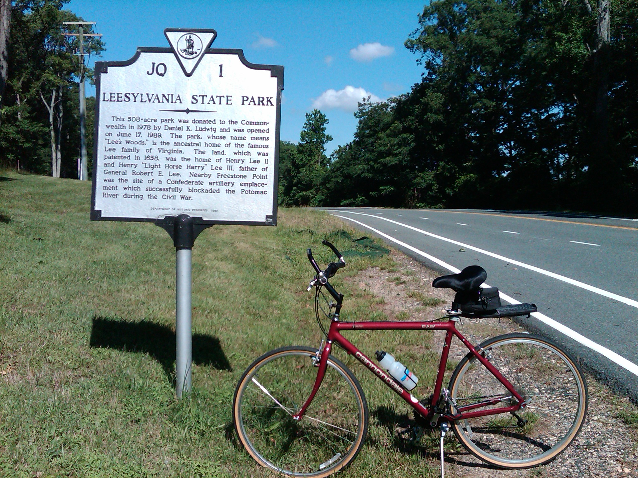
MCB Quantico is near the Potomac River approximately 35 miles south of D.C. The area was originally inhabited by the Patowomacks tribe in the 16th century. The name “Quantico” is credited to come from an Algonquian Native American term, and has been translated to mean “by the large stream.” It was not visited by European explorers until the summer of 1608, with settlement beginning later that year. More than two centuries later, in 1816, the Marine Corps first visited the site.  And just over a century after that, in 1917, Marine Barracks, Quantico was established on some of the land currently occupied by today’s base. At that time, Marine Barracks occupied just over 5,000 acres and the personnel consisted of 91 enlisted men and four officers. In 1942, an additional 50,000 acres were purchased by the Federal government and added to the barracks, making up what is now the base.

The MCB Quantico community currently consists of 12,000 military and civilian personnel, including families. The majority of that is made up by the Corps’ Combat Development Command, which develops strategies for Marine combat. It is also home of the Marine Corps University, where virtually all Marine officers receive their basic training, as well as enlisted technicians from many different disciplines. It has a budget of around $300 million and is the home of:  the Marine Corps Officer Candidates School; the Marine Corps Research Center, which pursues equipment research and development, especially telecommunications, for the Marine Corps, and; the Marine Corps Brig, a military prison.

The base was designated as part of the Quantico Marine Corps Base Historic District by the National Register of Historic Places in 2001. This district includes 122 buildings, two landscapes, a sculpture, and a water tower located within the base. And a replica of The United States Marine Corps War Memorial, depicting the 2nd U.S. flag-raising on Iwo Jima, stands at the entrance to the base.

MCB Quantico is the home of major training institutions for military and Federal law enforcement agencies as well, including the Defense Intelligence Agency, the Naval Criminal Investigative Service Headquarters, the Army Criminal Investigative Division Headquarters, and the United States Air Force Office of Special Investigations Headquarters. The FBI Academy and the FBI Laboratory, the principal training and research facilities of the Federal Bureau of Investigation, as well as the principal training facility for the Drug Enforcement Administration, are also located on the base.

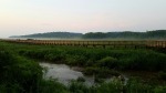
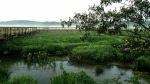
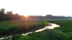
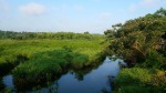
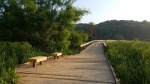
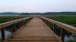
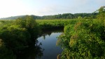
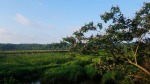
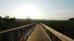
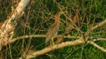
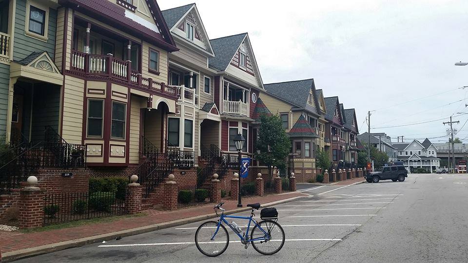
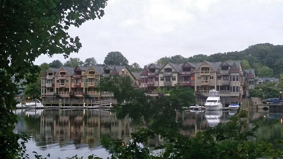
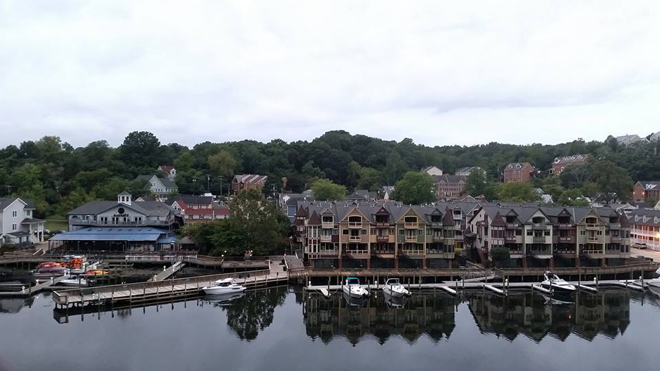
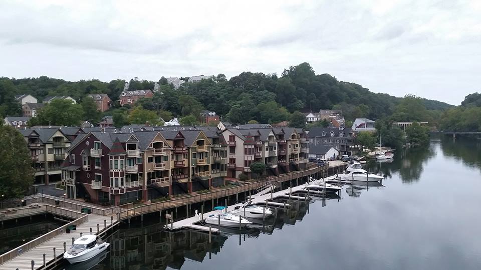
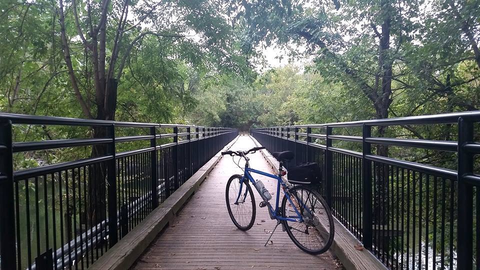
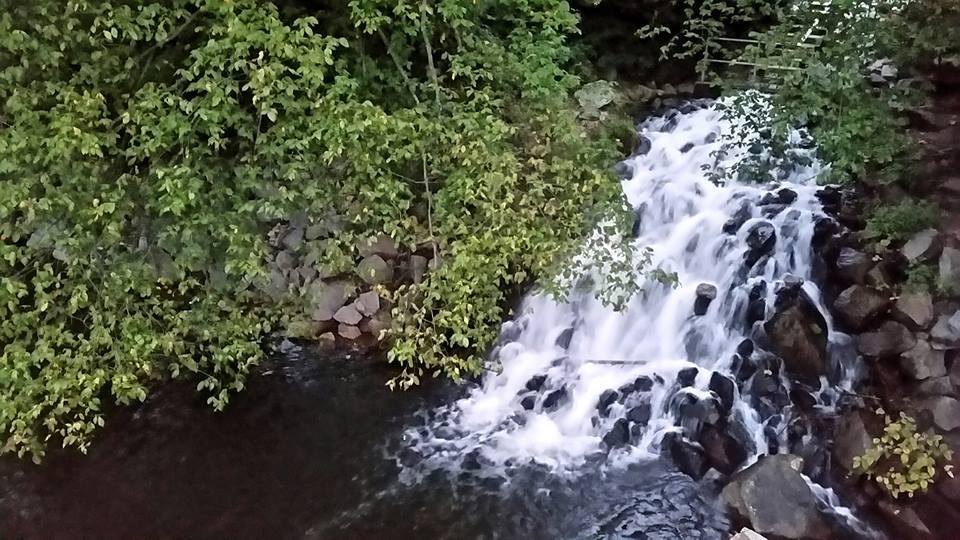
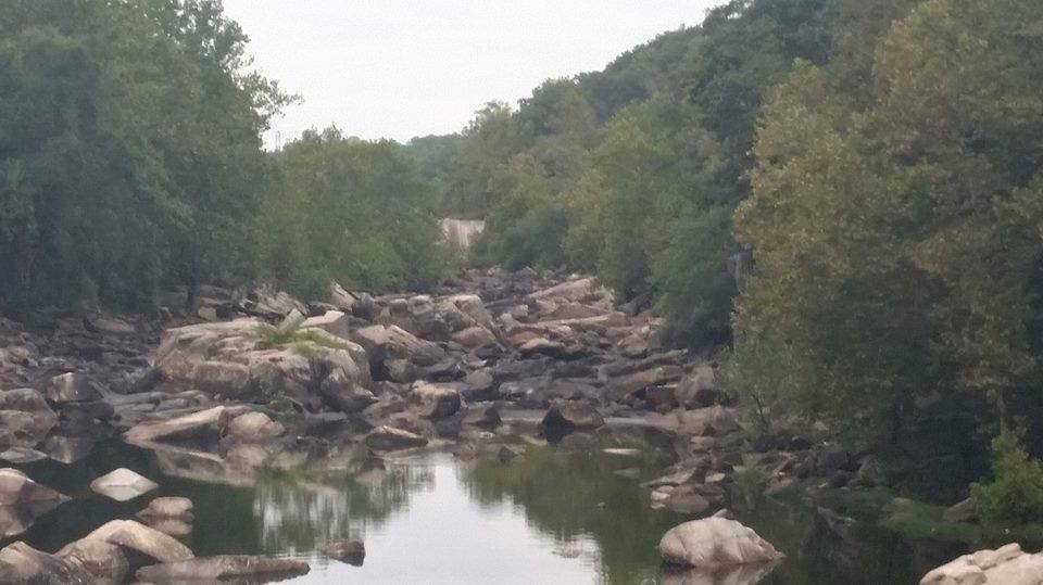
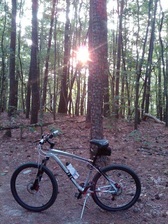
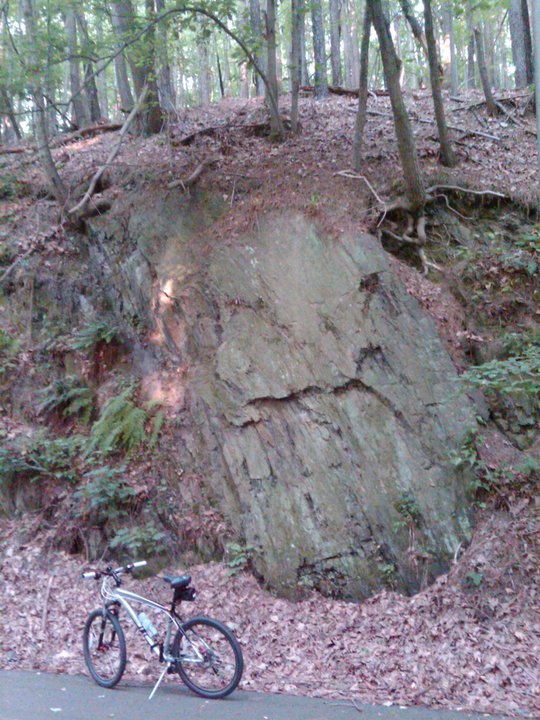
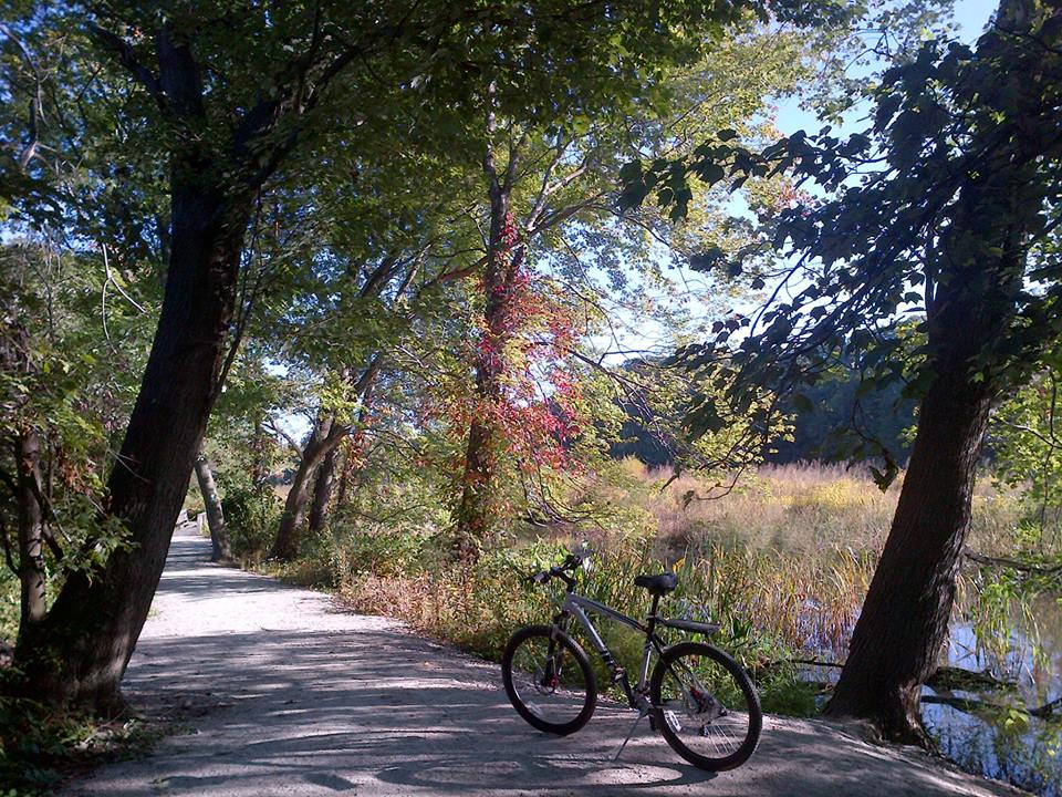
The long, open roads, the many miles of maintained running and biking trails, and the general lack of vehicle traffic on the base, except an occasional tank crossing the road, make it a safe and ideal place for a weekend bike ride.  The undeveloped nature of the area also provides opportunities for wildlife viewing, including white-tailed deer and wild turkey, which I have seen almost every time I have been on base.  I’m fortunate that I have access and am allowed to ride there.  Unfortunately, I find myself unable to recommend it as a riding destination for others, but only because much of the base is restricted from public access.  So if you want to go there, I suggest you check in advance about the areas of the base, if any, where you will be allowed access.

Quantico02     Quantico03     Quantico06

Quantico09     Quantico08     Quantico11

Quantico12     Quantico07
[Click on the thumbnails above to view the full size photos]

NOTE:  Due to security concerns there is currently very limited public access to Marine Corps Base Quantico.

Veterans Memorial Regional Park

Veterans Memorial Regional Park

Today is Veterans Day, a Federal holiday observed annually on November 11th which is intended to honor all men and women who have served in the U.S. Armed Forces. It is one of ten official Federal holidays. Since I was given the day off from work, I took advantage of the opportunity and ventured away from the city to explore one of the regional or state parks in the D.C. metro area. So for a Veterans Day ride, I selected Veterans Memorial Regional Park, located at 14300 Veterans Drive in Woodbridge, in nearby Prince William County, Virginia (MAP).

The park is home to several sports leagues including swimming, soccer, football, baseball, softball, Little League baseball, basketball, and volleyball. The community center hosts open gym days for both basketball and indoor seasonal, as well as dance classes sports classes, playschool, summer and mini-camps. The park also boasts a large skate park which features a 6,300-sq. ft. concrete course, a vertical ramp half-pipe, and a 60-ft long kidney bowl for a challenging ride. The multifaceted park also includes a 50-meter outdoor pool, as well as concessions, outdoor grills, picnic tables, volleyball, basketball courts, tennis courts, horseshoe pits, pavilion rentals, and restrooms throughout the park.

But my favorite aspect of the park is the fact that the Potomac Heritage National Scenic Trail runs through it, with a trail entrance just off the main road that runs through the park. Available to hikers and bike riders, the trail head is marked by the green square on a post. The trail runs through some of the natural areas of the park, which is situated adjacent to the beautiful Marumsco Creek, Featherstone National Wildlife Refuge, and Occoquan Bay National Water Reserve.

Having a paid day off from work is always nice, but going for a long, leisurely bike ride in Veterans Memorial Regional Park made it even better.

VeteransPark03     VeteransPark12     VeteransPark07

VeteransPark05     VeteransPark08     VeteransPark09

Leesylvania State Park

Leesylvania State Park

I’ve found holiday weekends are an ideal opportunity to venture away from the city and explore one of the regional or state parks in the D.C. metro area. So for a Columbus Day weekend ride, I selected Virginia’s Leesylvania State Park. The Park is located on the shores of the Potomac River overlooking Neabsco Creek, about 30 miles south of D.C. in the southeastern part of Prince William County (MAP).

The land where Leesylvania State Park is now located has had a rich history. Native Americans lived on this land for thousands of years, and it was once the site of a former Algonquian Indian village. Records indicate that Capt. John Smith also visited the area in 1608 on his voyage of discovery. It was eventually settled in 1747 by Henry Lee, II, who lived there until his death in 1787. He and his wife had eight children at their home there, including Henry “Light Horse Harry” Lee, a Revolutionary War hero and the future father of Civil War General Robert E. Lee, who was also born there. During the Lee family’s ownership of the land, George Washington is known to have visited there on several occasions, mentioning the visits in his diaries.

Then in 1825 the property was sold to Henry Fairfax. Henry Fairfax was a descendant of Thomas Fairfax, the 6th Lord Fairfax of Cameron, for whom neighboring Fairfax County, Virginia, was named. Fairfax County was formed from the northern part of Prince William County. The land was eventually passed to John Fairfax in 1847. The site was John Fairfax’s boyhood home, and he returned to live on the property in late 1875 after serving as a staff aide to Confederate Lt. General James Longstreet during the Civil War. Fairfax remained there until his death in 1908.

During the Civil War, the land was also used as a small Confederate force and gun emplacement, named the Freestone Point Confederate Battery, which is listed on the National Register of Historic Places.

Unfortunately, little remains of the physical remnants of the park’s early history. Only a small cornerstone of the Lee House remains, as well as a restored chimney of the Fairfax House. Henry Fairfax and his third wife are buried on the property, as are Henry Lee II and his wife. These archeological sites and the cemetery are accessible by trail, and are also listed on the National Register of Historic Places.

Today Leesylvania State Park offers many land and water activities, including hiking, picnicking, fishing and boating. The park includes a playground, four picnic shelters, a small group-only campground, a snack bar, and store and gift shop, and a visitor center. There are also five hiking trails, and a 20-station fitness trail. The park’s water amenities include a natural sand beach, boat launches and a boat storage area, canoe and kayak rentals, and a universally accessible fishing pier. Interestingly, halfway out on the park’s pier is the state line, so by walking out to the end of the pier you are actually in the state of Maryland, which can be seen on the other side of the river, about a mile away by water.  The shortest way to get there by land, however, is over 55 miles.

LeesylvaniaStatePark03     LeesylvaniaStatePark04    LeesylvaniaStatePark13

Leesylvania11     Leesylvania12     Leesylvania10

LeesylvaniaStatePark07     LeesylvaniaStatePark06     LeesylvaniaStatePark08

LeesylvaniaStatePark09     LeesylvaniaStatePark11     LeesylvaniaStatePark10

LeesylvaniaStatePark01     LeesylvaniaStatePark14     LeesylvaniaStatePark15

Leesylvania01a     Leesylvania02a