The Jefferson Pier
When tourists on the grounds of The Washington Monument gaze up at the tribute to our nation’s first President, they seldom are aware of the other, smaller but similarly-shaped stone monument that is also located there on the same grounds, in the shadows of the 555-foot obelisk that towers over the National Mall. Or if they do happen to notice it, they have no idea what it is. It is called the Jefferson Pier, and it is only 391 feet on a northwest diagonal from the center of the Washington Monument. However, it pre-dates the Washington Monument. In fact, the original stone monument served as a marker, aiding surveyors and serving as a benchmark during construction of the monument.
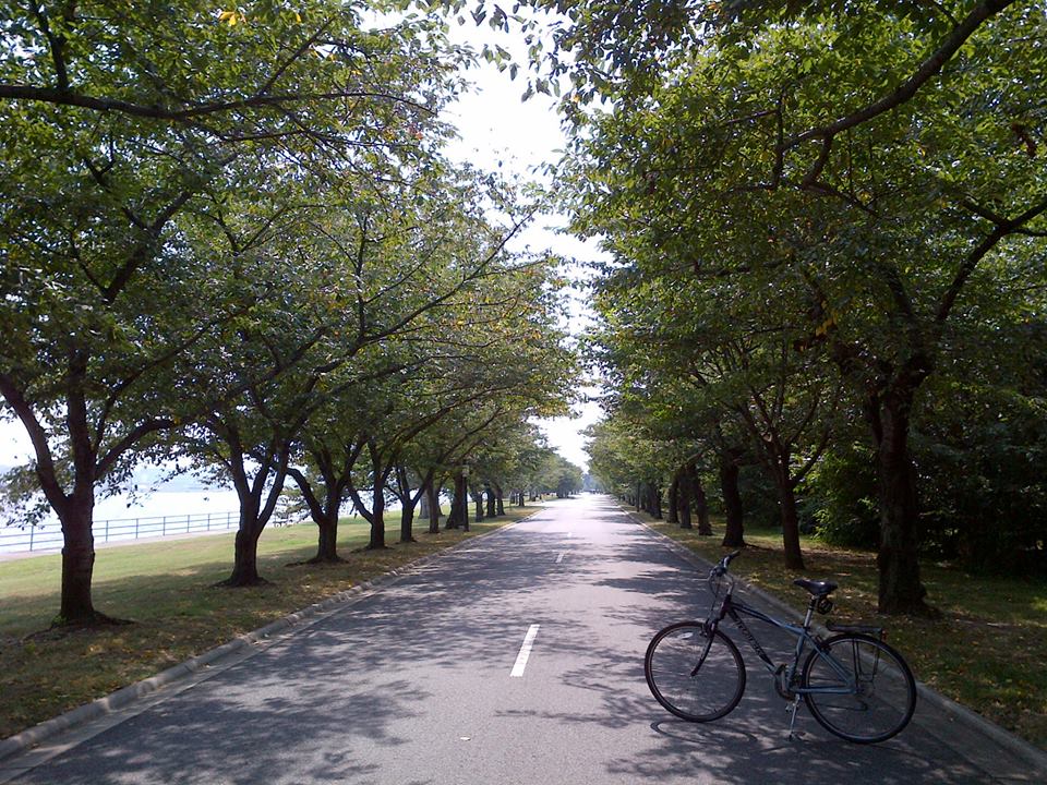
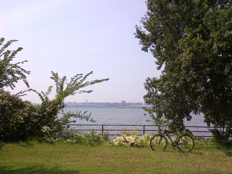
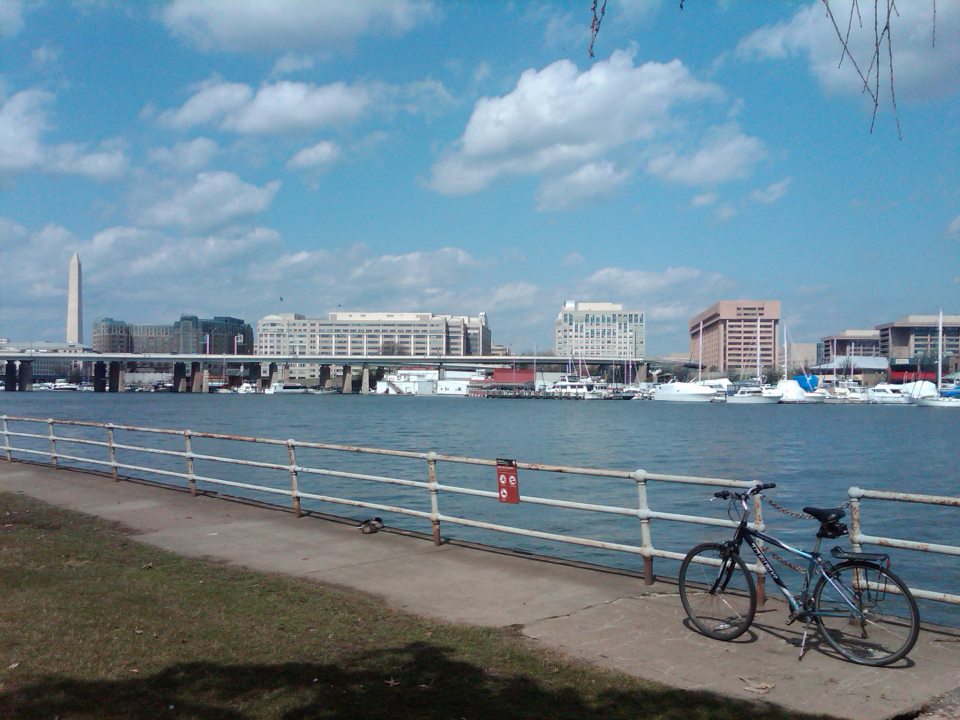
On December 18th, 1804, a simple granite obelisk was erected at the intersection of lines from the front doors of The White House, known at that time as the Executive Mansion, and the U.S. Capitol Building. That intersection is etched on the top of the stone marker. The stone was located along 16th Street, almost due south of the center of the White House, due west of the center of the Capitol building, and due north of the center of the Jefferson Memorial (MAP). It was intended as part of a meridian system used to align city streets and in the development of the young nation’s new capital. It was also the destination for this lunchtime bike ride.
President Thomas Jefferson wished for the new national capital to be a new “first meridian,” the longitude (0′ 0″) from which distance and time would be measured. But the 16th Street meridian never became the official prime meridian. Instead, a meridian on 24th Street did. Then in 1884, the world recognized the longitude of Greenwich, England as the prime meridian, and it remains so today.
To understand how the meridian stone came to be known as “The Jefferson Pier” it is necessary to first understand that the geography of the city was originally much different than it is now. Tiber Creek flowed through that area of the city, and the entire Mall area west of where the Washington Monument is now located was under water. Tiber Creek, along with several other small streams, were eventually transformed into the Washington City Canal, a system that connected the Washington Waterfront, the Capitol Building, the White House and other areas downtown with The Chesapeake and Ohio Canal and Towpath‘s first lock in Georgetown during the mid to late 1800’s. Boats and barges navigating the Washington City Canal via the C&O Canal and the Potomac River routinely used the meridian stone marker as an anchoring post. Although it was never officially designated so, the name used by boat captains and others stuck, and the prime meridian marker they used as an anchoring post for their boats came to be referred to as the Jefferson Pier.
The original stone marker was destroyed by the U.S. Army Corps of Engineers in 1874. But the spot was recovered and a replacement marker was erected December 21, 1889. This is the stone that remains today. The stone reads, “Position of Jefferson Pier Erected Dec. 18, 1804. Recovered and Re-Erected Dec. 2, 1889. District Of Columbia.” A line has also been etched out on the face of the stone to indicate where the shoreline of the Potomac River once reached the Pier Stone.

[Click on the thumbnail above to view the full size photo]